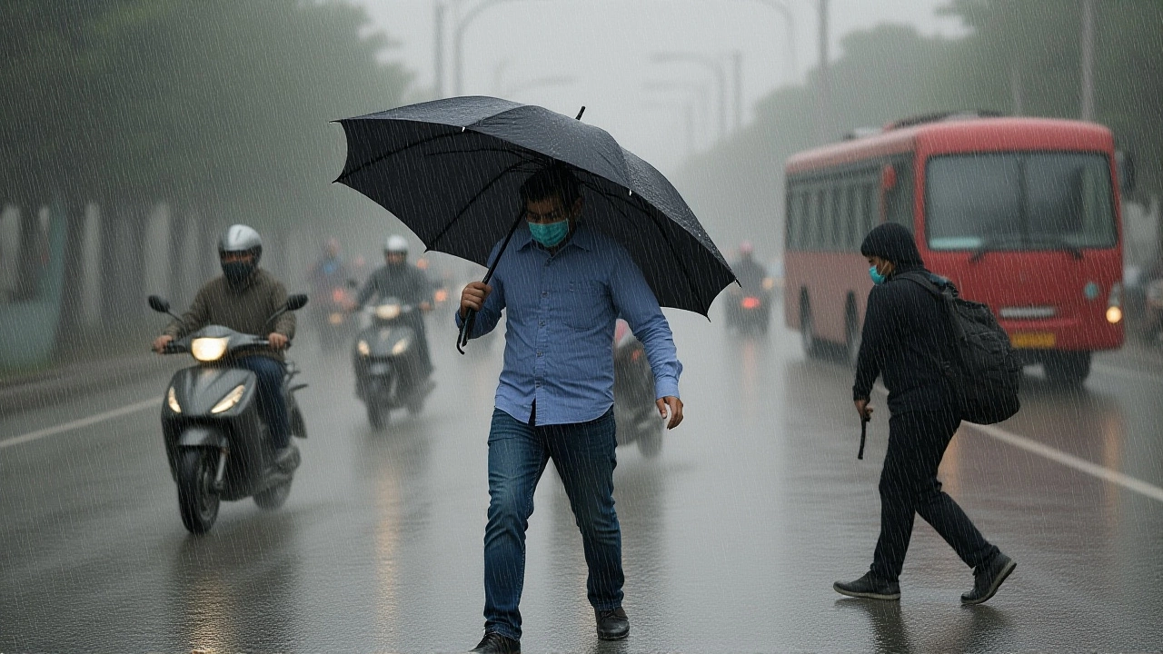
Residents of Himachal Pradesh are being urged to brace for a turbulent stretch of weather that will last through the end of next week. The state is under an active alert for thunderstorms and heavy rainfall until June 22, with specific districts facing an orange alert for hailstorms. It’s not just rain; it’s a complex mix of pre-monsoon turbulence that could disrupt travel plans and daily life across the hills.
Here’s the thing: while many were hoping for the cooling relief of the monsoon, the transition period has arrived with a bang. Meteorologists indicate that if conditions align perfectly, the Southwest Monsoon could make its official entry into the state around June 25. But before that welcome break arrives, locals have to navigate five days of unpredictable skies.
The Immediate Threat: Hail and High Winds
The most urgent warnings aren't just about wet roads. An orange alert—a serious classification in meteorological terms—has been issued for hailstorms in four key districts: Kangra, Mandi, Shimla, and Kullu.
This isn't light snow flurries we're talking about. These are dense ice pellets capable of damaging crops, vehicles, and power lines. Reports from local media outlets like The Tribune highlight that while some sources cite a two-day window for the hail risk, others extend this cautionary period to three days. The ambiguity suggests that the atmospheric instability is shifting rapidly, making precise timing difficult even for experts.
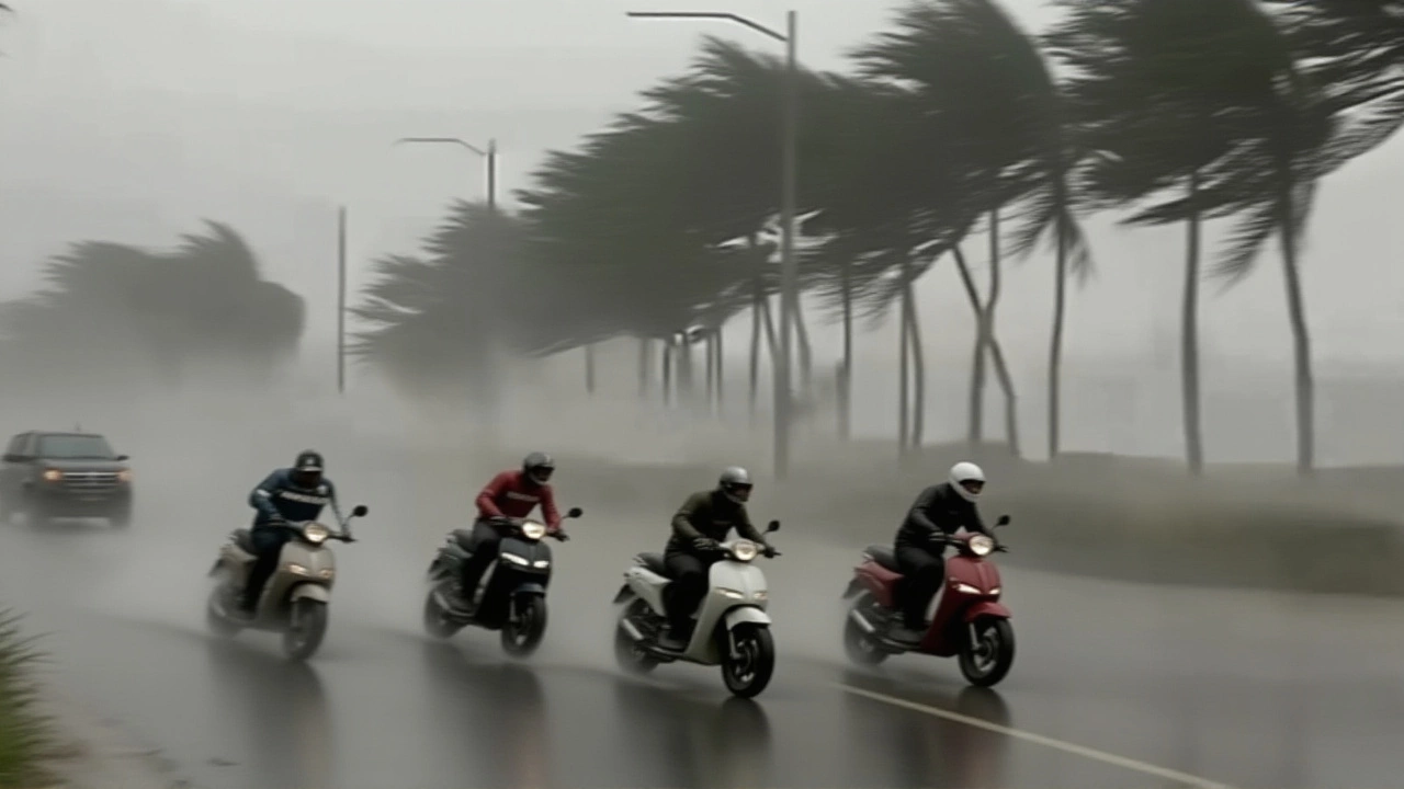
Compounding the issue is the wind. Gusts are expected to reach speeds between 40 and 60 kilometers per hour. For context, that’s strong enough to snap small tree branches and make driving on narrow mountain passes hazardous. If you’re planning a trip to Manali or Shimla this weekend, you might want to reconsider or at least pack waterproof gear and patience.
Rainfall Patterns and Temperature Drops
The rain itself is already starting to show up in the data. In the past 24 hours alone, several areas recorded significant precipitation. Kangra city saw 34 millimeters of rain, while Kasog received 27mm and Palampur logged 24mm. These numbers might sound modest to coastal residents, but in the Himalayas, they often translate to landslides and blocked roads.
Turns out, the heatwave that gripped the region earlier in the month is finally breaking. Previously, forecasts suggested extreme heat would linger until mid-June. Now, we’re seeing a distinct shift:
- Lower Hills: Temperatures hovering between 33°C and 39°C.
- Mid-Altitudes: A more comfortable 25°C to 32°C.
- High Altitudes: Chilly ranges of 21°C to 27°C.
The real drop is expected after June 20. Experts describe it as a "significant decline" in temperature, which should bring much-needed relief to those suffering from the summer heat. However, this cooling comes bundled with increased moisture and storm activity.
The Monsoon Countdown
So, when does the actual monsoon arrive? The traditional date for Himachal Pradesh is June 25. Current models suggest this timeline remains intact. Between now and then, the state is experiencing what meteorologists call "pre-monsoon" activity. Think of it as the atmosphere clearing its throat before the main event.
A yellow alert has specifically been issued for heavy rainfall in certain regions between June 20 and June 22. This window is critical. It’s likely to see the heaviest downpours before the steady, rhythmic rains of the monsoon set in. After June 20, rainfall intensity is predicted to increase across most districts, transitioning from sporadic bursts to consistent coverage.
What Experts Are Saying
Meteorologist Sandeep, cited by local news outlets, has been tracking these patterns closely. His analysis points to a sustained period of bad weather rather than a single isolated storm. The consensus among various bulletins—from YouTube weather channels to print media—is clear: stay indoors during peak storm hours, avoid unnecessary travel on hill routes, and keep emergency kits ready.
The discrepancy in hailstorm duration (two vs. three days) mentioned in different reports underscores the volatile nature of the current system. One day’s delay or acceleration in cloud movement can change the outlook entirely. Residents in Mandi and Kullu, in particular, should monitor real-time updates rather than relying on static forecasts.
Frequently Asked Questions
When is the monsoon expected to reach Himachal Pradesh?
The Southwest Monsoon is projected to enter Himachal Pradesh around June 25, which aligns with the historical normal date for the region. However, pre-monsoon rains and thunderstorms are active well before this date, particularly intensifying after June 20.
Which districts are under an orange alert for hailstorms?
An orange alert for hailstorms has been issued for Kangra, Mandi, Shimla, and Kullu districts. This indicates a high probability of severe hail activity, which can cause damage to property and agriculture. Residents in these areas should secure loose outdoor items and avoid traveling during peak storm hours.
How long will the thunderstorm alert remain active?
The alert for thunderstorms and associated rainfall is active until June 22. Wind gusts may persist for up to five days, affecting travel and outdoor activities. While the immediate hail risk may be shorter (2-3 days), the general threat of unstable weather continues through the end of the second week of June.
Will temperatures drop significantly in the coming days?
Yes, a notable temperature drop is expected after June 20. Lower hill areas currently seeing highs near 39°C will see cooler conditions, while mid-altitude regions will range between 25°C and 32°C. This cooling trend is part of the pre-monsoon transition and should provide relief from the earlier heatwave.
Is there a risk of landslides or road closures?
There is a moderate to high risk, especially between June 20 and June 22 when a yellow alert for heavy rain is in effect. Areas like Kangra and Kasog have already recorded significant rainfall (34mm and 27mm respectively). Travelers on NH-3 and other major hill routes should check live traffic updates before departing.